
The National Hurricane Center in Miami is tracking Hurricane Michael, which formed from a tropical depression in the Caribbean Sea on Sunday.
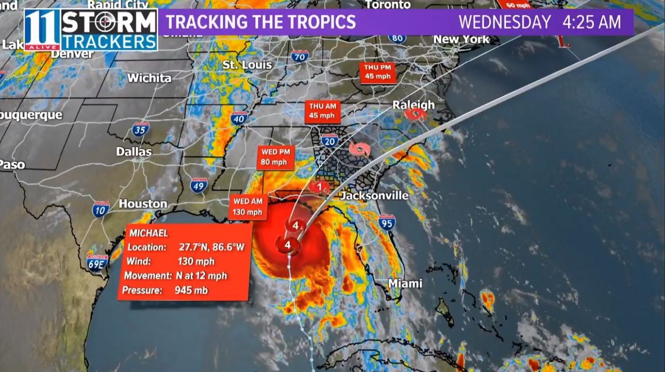
Wednesday morning, Michael became a category 4 major hurricane.
Tropical Storm Watches and Hurricane Watches have been issued for portions of the Gulf Coast from Alabama-Mississippi border to Tampa Bay, Florida.
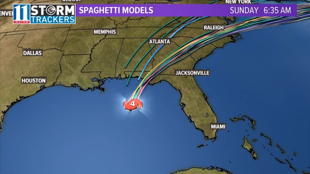
Hurricane Michael: Spaghetti Models
Each line represents a computer model and its best "guess" as to where the center of the storm will go. When plotted together on a map, the flowing together of the multiple models appear like strands of spaghetti -- hence the name, "spaghetti models."

Hurricane Michael: Current Forecast Cone
On its current path, Hurricane Michael is projected to move northward past the Yucatan Peninsula and into the Gulf of Mexico by late Monday.
Further strengthening is forecast as it moves northward across the Gulf of Mexico and toward the Gulf Coast.
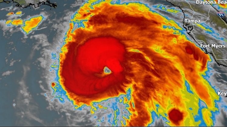
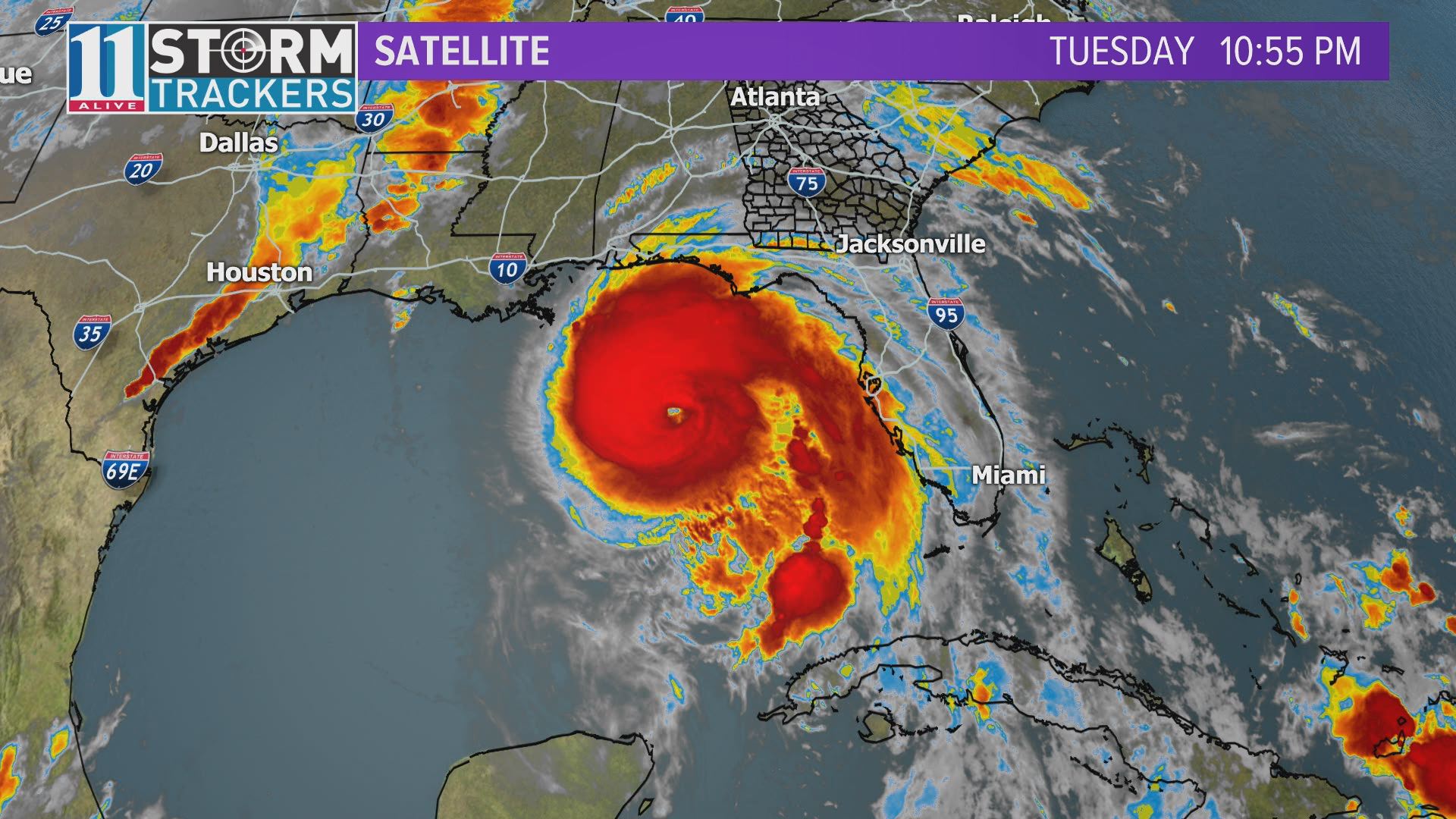
Hurricane Michael: Current Satellite Map

Interests along the northeastern and central Gulf Coast areas are advised to monitor the progress of Hurricane Michael.
► UPLOAD | Send us your weather pictures here
► Download the FREE 11Alive News app now in the iTunes store or on Google Play.
► POWER OUTAGES CHECK | Georgia Power customers, check here. Georgia EMC customers check here.
► Have a news tip? Email news@11alive.com, visit our Facebook page or Twitter feed.